The Nile is central to the character of Luxor. From the water, the city reveals itself in layers: boats moving across the river, moored vessels along the shore, rows of trees, and buildings rising beyond the waterfront. These photographs offer a quieter perspective on a destination often associated primarily with its ancient temples.
The Nile and the Birth of Egyptian Civilization
For thousands of years, the Nile shaped where people lived, how they traveled and what they grew. Its annual flood historically deposited fertile silt along the valley, making agriculture possible in a landscape bordered by desert. The river was also a transport route linking settlements and major religious centers. Ancient Egypt’s prosperity depended on the relationship between the river, cultivated land and the communities that maintained irrigation systems.
In Luxor, this connection is especially visible because the city stands within the landscape of ancient Thebes. The river divided the region into eastern and western banks, but it also connected them. Boats carried people, goods, stone and ceremonial objects across and along the water. Modern river traffic continues a tradition of movement that long predates the cruise ships seen today.
East Bank, West Bank and the Sacred Landscape
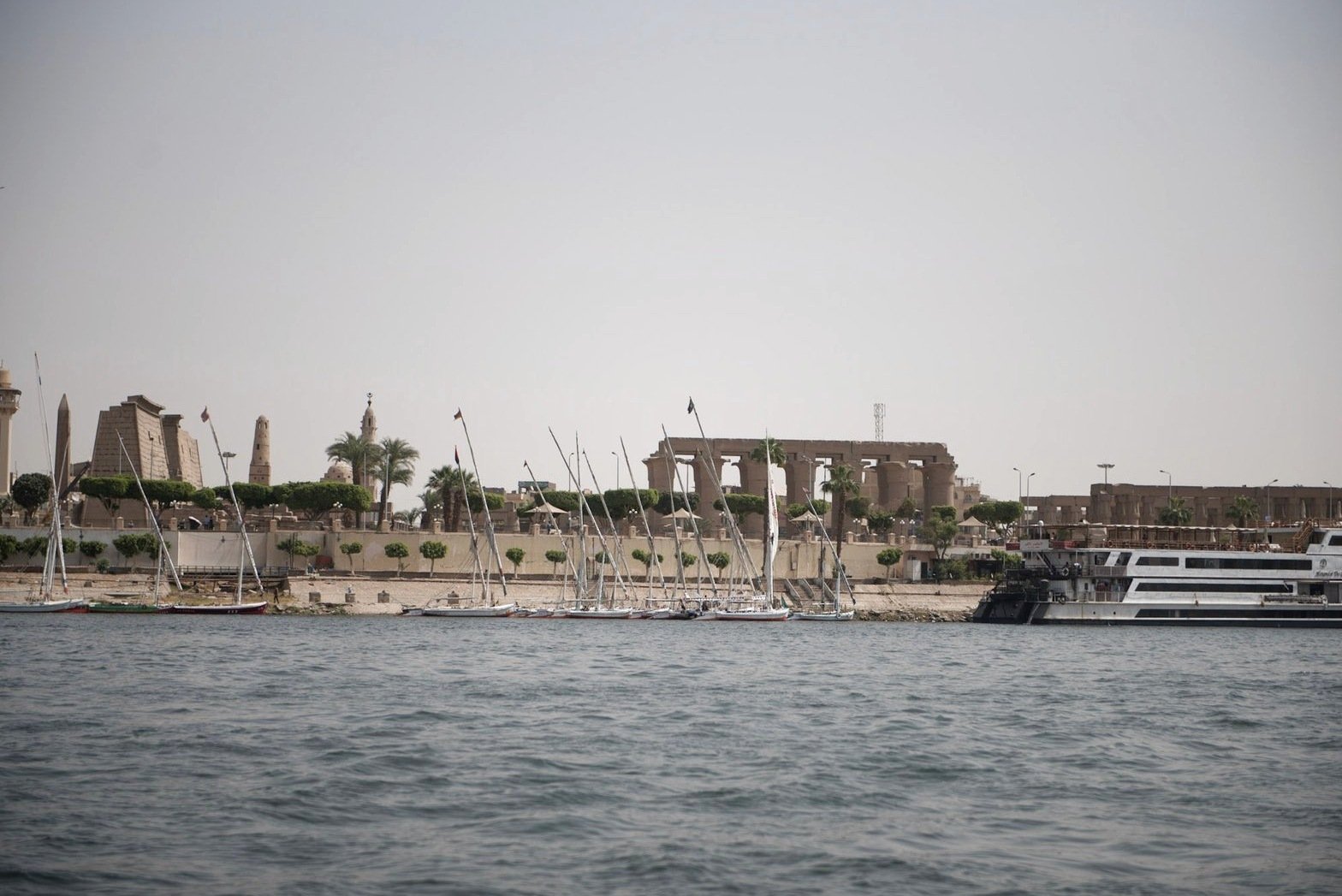
The east bank of the Nile is associated with major temple complexes such as Karnak and Luxor Temple, while the west bank contains extensive royal and private burial grounds, mortuary temples and the Valley of the Kings. This division was never absolute, but the journey of the sun across the sky gave the western landscape particular funerary associations.
A photograph looking across the Nile can therefore suggest far more than a pleasant river view. It frames a landscape in which ancient religious beliefs, agricultural life and modern settlement coexist. Palm trees, buildings and boats all form part of that continuity, even as the city’s appearance has changed dramatically over the centuries.
Feluccas and the History of River Travel
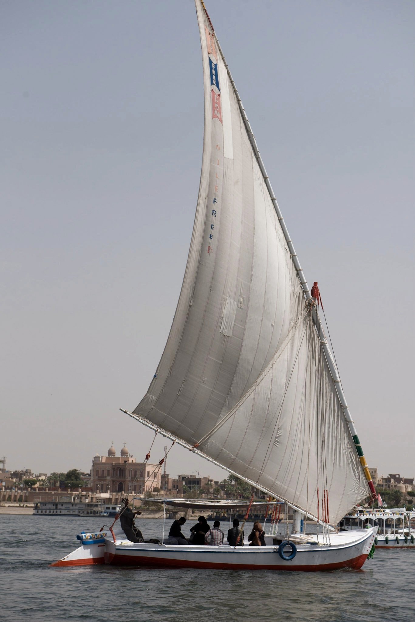
The triangular sails of traditional feluccas are among the most recognizable features of the Egyptian Nile. Sailing craft have been used on the river for many centuries, although the boats seen today are not unchanged replicas of those of pharaonic times. Their simple silhouettes make a beautiful contrast with the straight lines of quays and the larger motor vessels that now share the water.
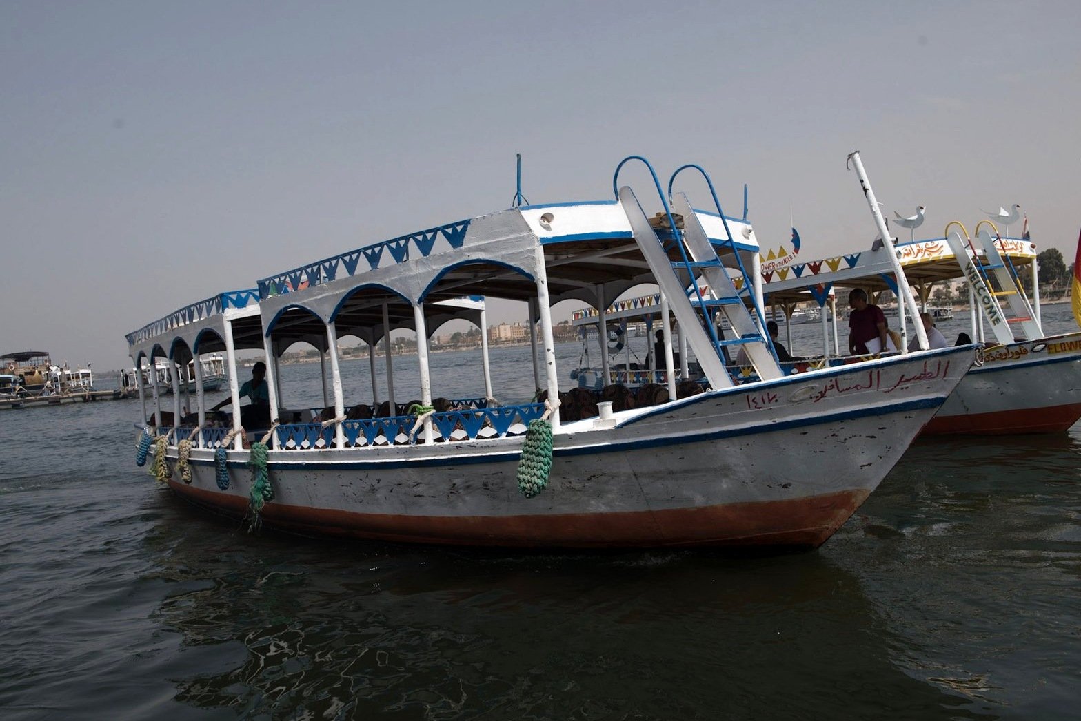
River travel is also part of Egypt’s modern tourism economy. Cruise vessels bring visitors between historic destinations, while smaller boats offer a slower view of the banks. These different forms of transport reveal the Nile as both a working waterway and a place of leisure. Photographs of moorings, gangways and crews help tell that fuller story.
Current, Wind and an Ancient Highway
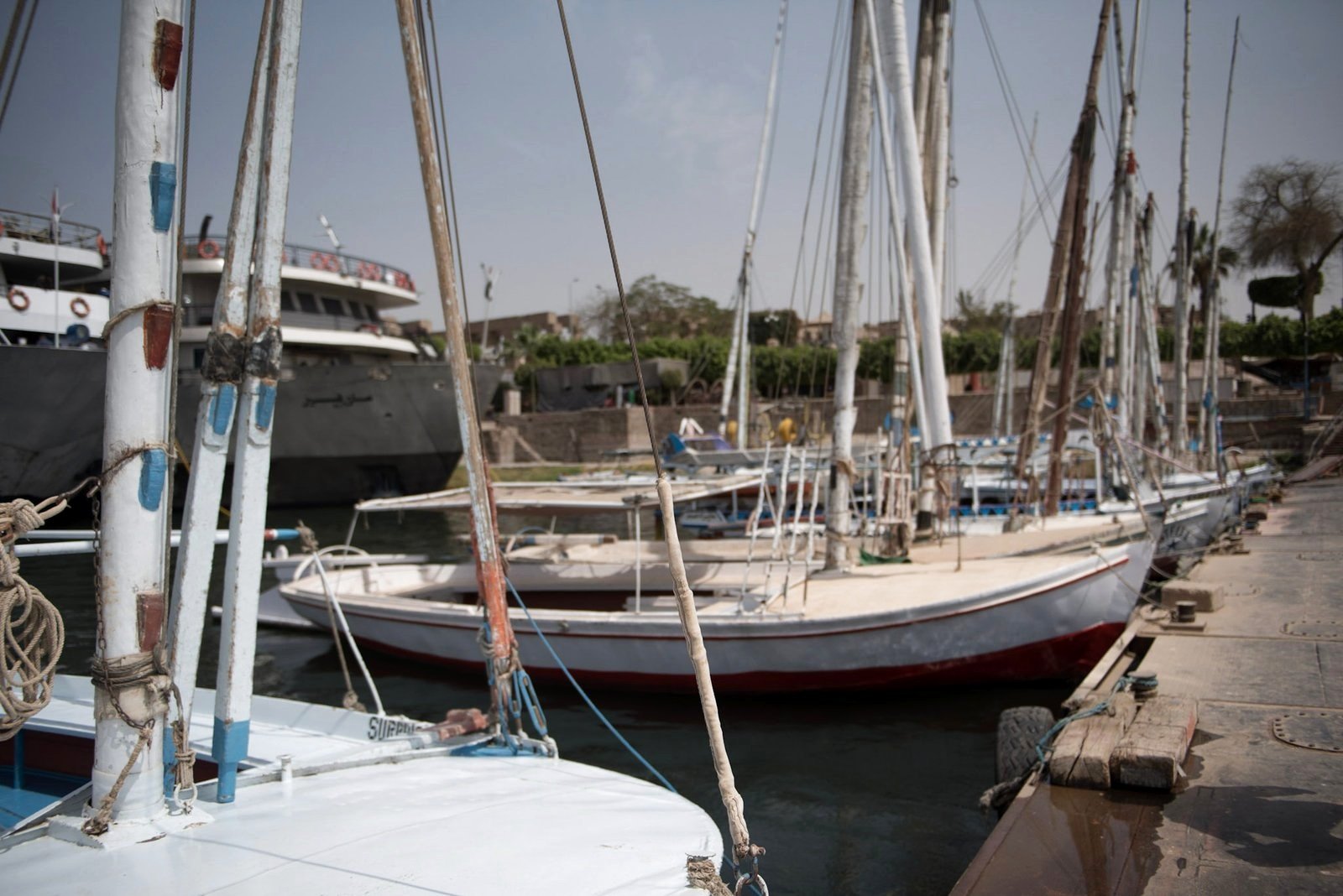
The Nile’s current flows north, while the prevailing winds in Egypt often favor sailing south. Long before modern engines, that relationship helped boats travel in both directions along the valley. Oars provided another means of movement, and different vessels served the work of fishing, crossing the river and carrying heavier cargo. The boats preserved in archaeology and represented in Egyptian art show that river travel involved practical skills as well as elegant silhouettes.
The sailing boats in these photographs belong to the modern river, with their own construction, crews and uses. They should not be mistaken for exact survivals of an ancient design. What connects them to the past is the continuing importance of the waterway itself: the need to read the current, handle a sail, find a mooring and move between shore and boat.
When the River’s Rhythm Changed
The annual inundation belongs to the history of the Nile, rather than the seasonal river scene visitors now see at Luxor. The Aswan High Dam, completed in 1970, was built to protect against floods and store water through dry periods. That control changed the relationship between the river’s natural flood cycle and the farmland downstream.
A calm view across the water does not reveal that engineering history by itself. The photograph records the river as it appeared during the visit; the historical context explains why today’s managed waterway differs from the river on which ancient agriculture depended. Both perspectives matter when we look beyond the scenery.
The Waterfront as a Living Place
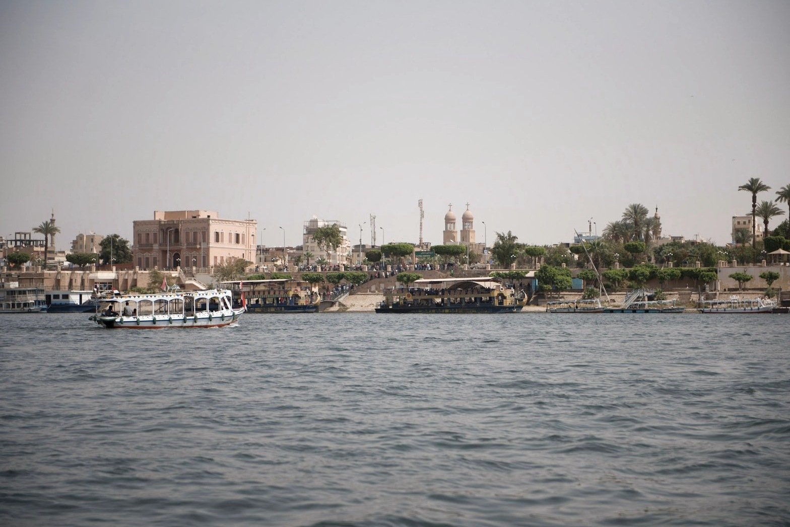
A riverbank is never a static scene. Boats arrive and depart, people move along the quays, and sunlight changes the color of the water throughout the day. In photographs, a person standing on a landing stage or a cluster of moored vessels can provide scale and suggest the rhythms of everyday work.
Luxor’s waterfront also brings together different periods of architecture. Modern hotels and apartment buildings stand near religious structures and older neighborhoods. It is important to identify landmarks carefully: a distant dome or minaret may be distinctive, but it should not be named in a caption without sufficient evidence. The photographs are strongest when they show what is genuinely visible.
Light, Reflection and the Photographer’s View
The Nile can look completely different from one hour to the next. Early and late light may bring warmth to the banks and long reflections across the water, while strong midday light emphasizes bright surfaces and deep shadows. The changing arrangement of sails and boats makes even repeated views feel new.
Wide river scenes and closer views of sails, hulls and moorings tell different parts of the same story. A distant shoreline gives the city its setting, while the ropes and timber of a boat bring the experience closer. Moving between those scales helps preserve the feeling of a journey rather than a single fixed view.
A City Seen from the River
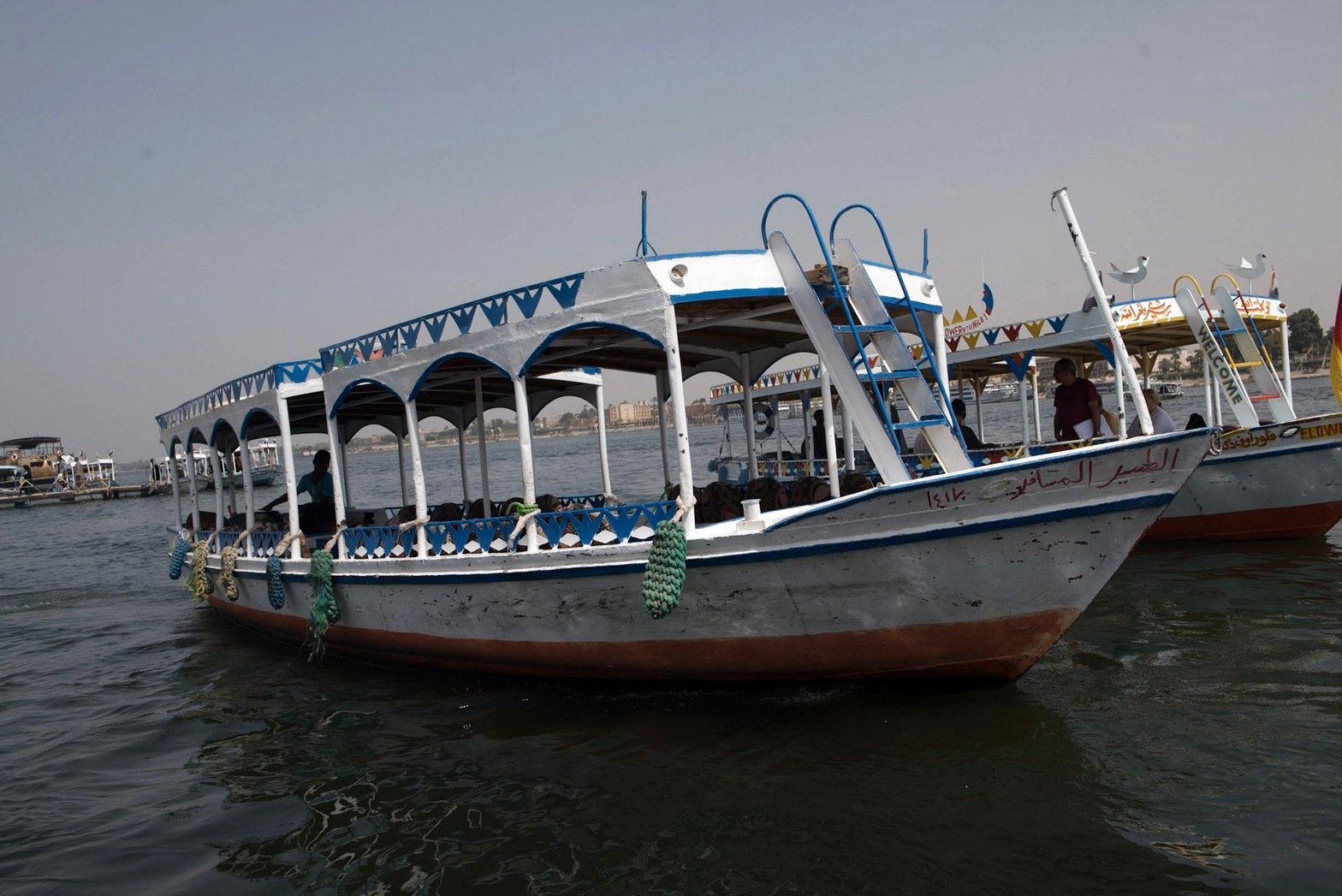
Looking toward the riverbank, the changing arrangement of boats, buildings, and trees gives the waterfront its rhythm. Small passenger boats share the scene with larger vessels. The broad stretch of water in the foreground creates a sense of distance, while the buildings onshore provide a human scale.
Boats and Everyday Movement
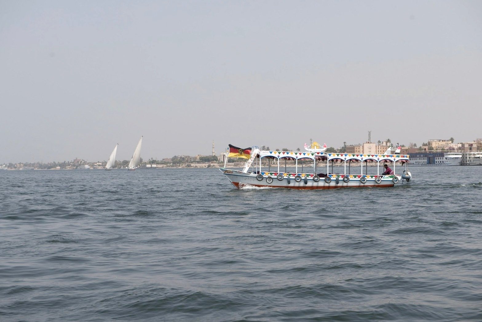
River transport remains a visible part of the Luxor landscape. In photographs, boats can do more than establish location: they introduce motion, color, and a focal point within a wide view. A vessel placed against the shoreline connects the water to the life of the city beyond it.
Palms, Sailboats, and the Skyline
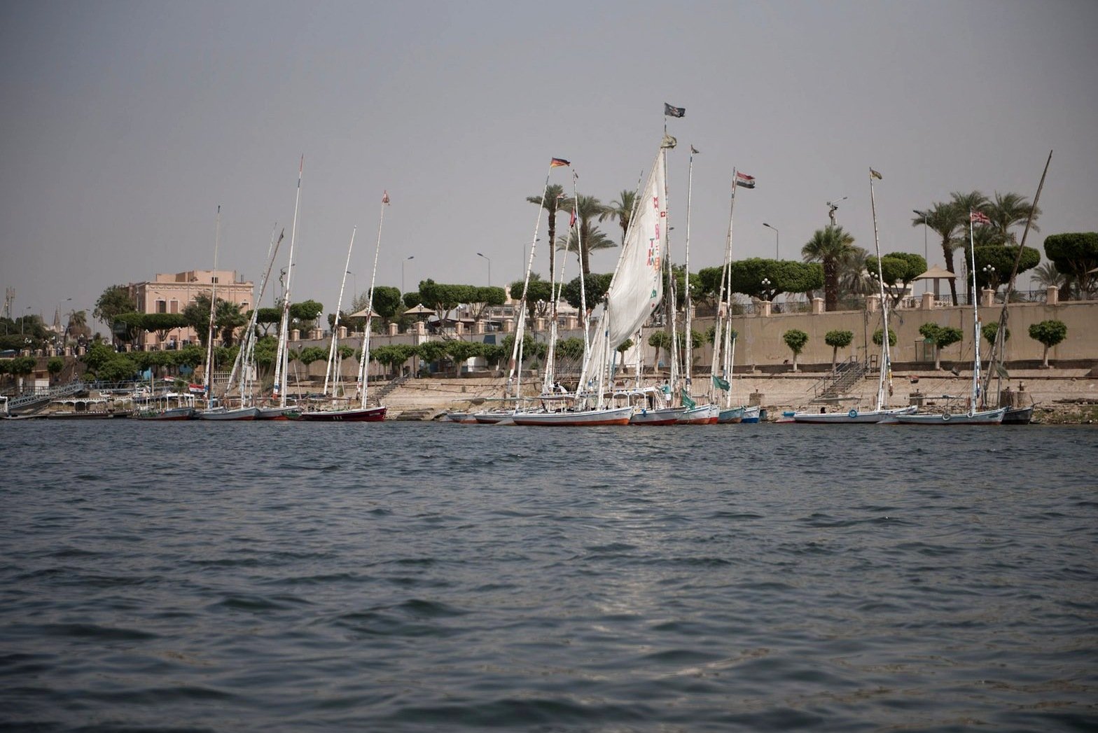
Farther along the riverbank, palms and slender masts form vertical accents against the skyline. The combination of traditional-looking sailing boats and modern waterfront activity illustrates the visual variety of Luxor today. Wide compositions are particularly effective here because the river, shore, and sky each contribute to the sense of place.
Photographing the Nile
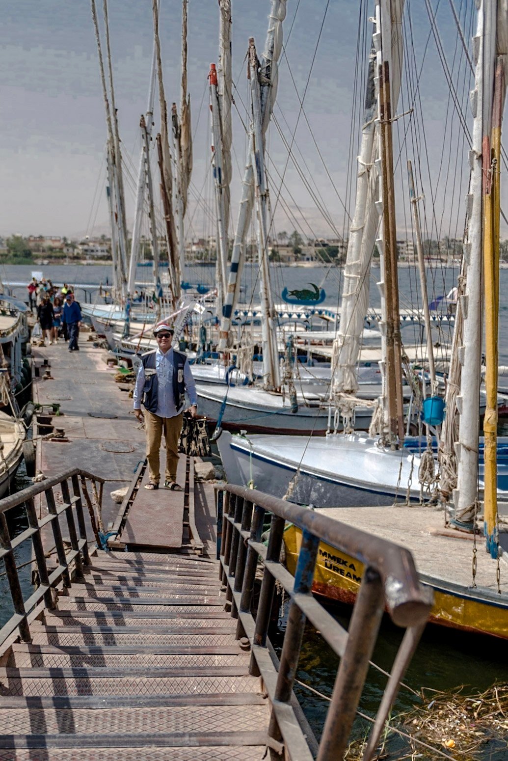
Bright, hazy light can flatten contrast across a broad river scene. Thoughtful adjustments to exposure, tonal balance, and horizon alignment can bring attention back to the boats and shore without changing the documentary character of the photograph. The changing light and moving water make every composition temporary, part of the pleasure of photographing a working river.
A Lasting Impression of the Nile
Luxor’s monuments explain much of its fame, but the river gives the city another kind of presence. A sail crossing a hazy skyline, the reflected color of a passenger boat and the narrow walkways between moored vessels all belong to the experience of this place. They bring the grand history of Thebes back to the scale of a journey made by people: arriving, crossing, working and watching the water.
Continue the journey through Luxor Temple and the Temple of Hatshepsut.
Original travel photography by A. Abbady. Explore the full Luxor collection.
Historical Sources and Further Reading
UNESCO: Ancient Thebes with its Necropolis; Egyptian Ministry of Tourism and Antiquities: Nile Stelae; The Global Egyptian Museum: Ship, Boat; U.S. Geological Survey: The Lakes Form.